
Manna topographic map
Interactive map
Click on the map to display elevation.
About this map
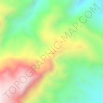
Name: Manna topographic map, elevation, terrain.
Location: Manna, Las Khorey District, Sanaag, Somalia (11.14786 48.45594 11.14796 48.45604)
Average elevation: 527 m
Minimum elevation: 194 m
Maximum elevation: 917 m
Other topographic maps
Click on a map to view its topography, its elevation and its terrain.
Cawsane
Somalia > Sanaag > Las Khorey District
Cawsane, Las Khorey District, Sanaag, Somaliland, Somalia
Average elevation: 788 m