
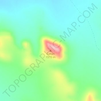
Gatun topographic map
Interactive map
Click on the map to display elevation.
About this map
Name: Gatun topographic map, elevation, terrain.
Location: Gatun, Julimes, Chihuahua, Mexique (28.51235 -104.82369 28.51245 -104.82359)
Average elevation: 1,457 m
Minimum elevation: 1,410 m
Maximum elevation: 1,583 m