
Beomseo-eup topographic map
Click on the map to display elevation.
About this map
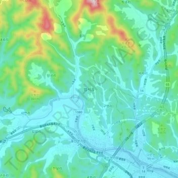
Name: Beomseo-eup topographic map, elevation, terrain.
Location: Beomseo-eup, Ulsan, 44920, South Korea (35.54914 129.20011 35.62914 129.28011)
Average elevation: 113 m
Minimum elevation: 1 m
Maximum elevation: 576 m
Other topographic maps
Click on a map to view its topography, its elevation and its terrain.