
Piedmont topographic map
Interactive map
Click on the map to display elevation.
About this map
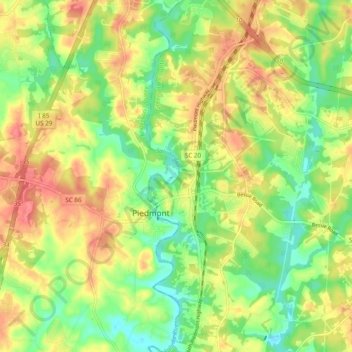
Name: Piedmont topographic map, elevation, terrain.
Location: Piedmont, Anderson County, South Carolina, United States (34.67117 -82.49299 34.74991 -82.43796)
Average elevation: 257 m
Minimum elevation: 224 m
Maximum elevation: 290 m