
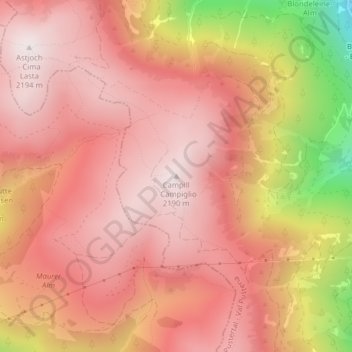
Campill - Campiglio topographic map
Interactive map
Click on the map to display elevation.
About this map
Name: Campill - Campiglio topographic map, elevation, terrain.
Average elevation: 1,926 m
Minimum elevation: 1,296 m
Maximum elevation: 2,192 m
Other topographic maps
Click on a map to view its topography, its elevation and its terrain.
Ellen - Elle
Italy > Trentino-Alto Adige/Südtirol > South Tyrol > St. Lorenzen - San Lorenzo di Sebato > Ellen - Elle
Average elevation: 1,348 m