
特木里镇 topographic map
Interactive map
Click on the map to display elevation.
About this map
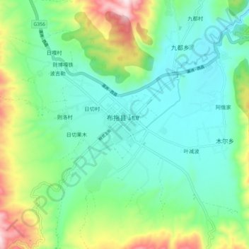
Name: 特木里镇 topographic map, elevation, terrain.
Location: 特木里镇, 布拖县, 凉山彝族自治州, 四川省, 616300, 中国 (27.66992 102.76968 27.74992 102.84968)
Average elevation: 2,501 m
Minimum elevation: 2,345 m
Maximum elevation: 2,916 m
Other topographic maps
Click on a map to view its topography, its elevation and its terrain.