
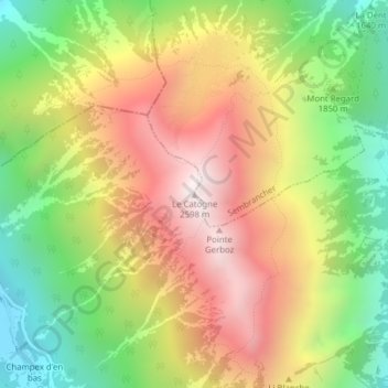
Le Catogne topographic map
Interactive map
Click on the map to display elevation.
About this map
Name: Le Catogne topographic map, elevation, terrain.
Location: Le Catogne, Sembrancher, Entremont, Wallis, 2303, Schweiz (46.05412 7.11078 46.05422 7.11088)
Average elevation: 1,949 m
Minimum elevation: 1,343 m
Maximum elevation: 2,586 m