
Venade topographic map
Interactive map
Click on the map to display elevation.
About this map
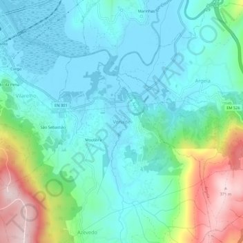
Name: Venade topographic map, elevation, terrain.
Location: Venade, Caminha, Viana do Castelo, 4910-616, Portugal (41.84040 -8.82956 41.88040 -8.78956)
Average elevation: 90 m
Minimum elevation: -3 m
Maximum elevation: 370 m
Other topographic maps
Click on a map to view its topography, its elevation and its terrain.
Dem
Portugal > Viana do Castelo > Caminha
Dem, Caminha, Viana do Castelo, Portugal
Average elevation: 323 m