
Arquitectura topographic map
Interactive map
Click on the map to display elevation.
About this map
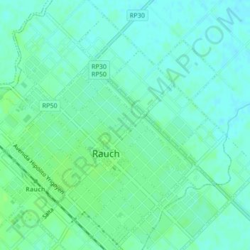
Name: Arquitectura topographic map, elevation, terrain.
Average elevation: 94 m
Minimum elevation: 89 m
Maximum elevation: 98 m
Other topographic maps
Click on a map to view its topography, its elevation and its terrain.
El Fortín
Argentina > Buenos Aires > Rauch
El Fortín, Rauch, Partido de Rauch, Buenos Aires, Argentina
Average elevation: 93 m