
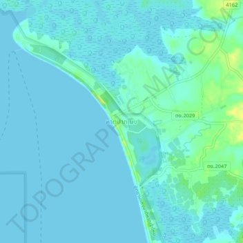
Hat Pak Meng topographic map
Interactive map
Click on the map to display elevation.
About this map
Name: Hat Pak Meng topographic map, elevation, terrain.
Location: Hat Pak Meng, Trang Province, Thailand (7.47443 99.30899 7.51443 99.34899)
Average elevation: 4 m
Minimum elevation: 0 m
Maximum elevation: 20 m