
Hovärken topographic map
Interactive map
Click on the map to display elevation.
About this map
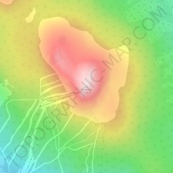
Name: Hovärken topographic map, elevation, terrain.
Location: Hovärken, Härjedalens kommun, Jämtland County, 840 85, Sweden (62.12940 13.31896 62.12950 13.31906)
Average elevation: 867 m
Minimum elevation: 637 m
Maximum elevation: 1,125 m
Other topographic maps
Click on a map to view its topography, its elevation and its terrain.