
Tielt topographic map
Interactive map
Click on the map to display elevation.
About this map
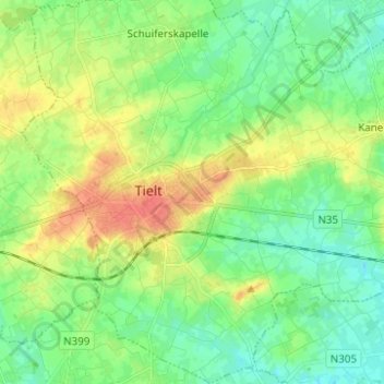
Name: Tielt topographic map, elevation, terrain.
Location: Tielt, Flandre-Occidentale, Flandre, 8700, Belgique (50.96107 3.28629 51.03894 3.38218)
Average elevation: 24 m
Minimum elevation: 8 m
Maximum elevation: 51 m