
Jansen topographic map
Interactive map
Click on the map to display elevation.
About this map
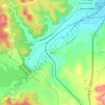
Name: Jansen topographic map, elevation, terrain.
Location: Jansen, Las Animas County, Colorado, 81074, USA (37.12946 -104.55888 37.16946 -104.51888)
Average elevation: 1,899 m
Minimum elevation: 1,831 m
Maximum elevation: 2,015 m