
Jahis topographic map
Interactive map
Click on the map to display elevation.
About this map
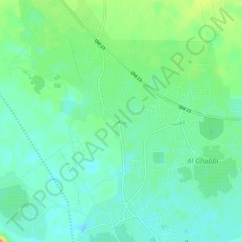
Name: Jahis topographic map, elevation, terrain.
Location: Jahis, Ash Sharqiyah North Governorate, 421, Oman (22.43009 58.77999 22.47009 58.81999)
Average elevation: 299 m
Minimum elevation: 282 m
Maximum elevation: 338 m
Other topographic maps
Click on a map to view its topography, its elevation and its terrain.