
Refuge de Coms de Jan - andorre topographic map
Interactive map
Click on the map to display elevation.
About this map
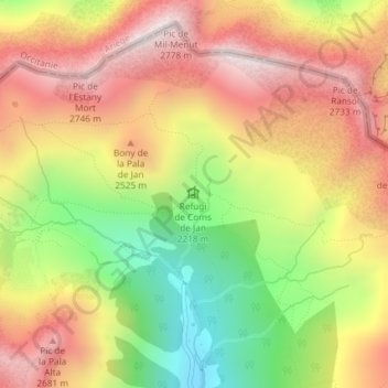
Name: Refuge de Coms de Jan - andorre topographic map, elevation, terrain.
Average elevation: 2,367 m
Minimum elevation: 1,892 m
Maximum elevation: 2,773 m