
Tutamgaly topographic map
Interactive map
Click on the map to display elevation.
About this map
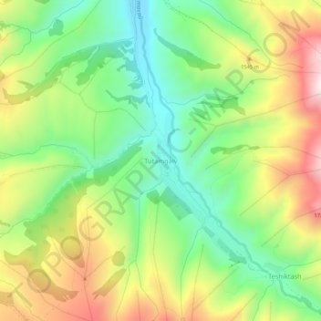
Name: Tutamgaly topographic map, elevation, terrain.
Location: Tutamgaly, Parkent district, Tashkent Region, Uzbekistan (41.35819 69.88226 41.39819 69.92226)
Average elevation: 1,409 m
Minimum elevation: 1,137 m
Maximum elevation: 1,800 m
Other topographic maps
Click on a map to view its topography, its elevation and its terrain.