
Ulytau District topographic map
Interactive map
Click on the map to display elevation.
About this map
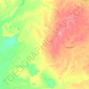
Name: Ulytau District topographic map, elevation, terrain.
Location: Ulytau District, Ulytau Region, 101500, Kazakhstan (45.99961 62.95009 49.93818 69.84620)
Average elevation: 246 m
Minimum elevation: 48 m
Maximum elevation: 1,009 m