
Ferreira topographic map
Interactive map
Click on the map to display elevation.
About this map
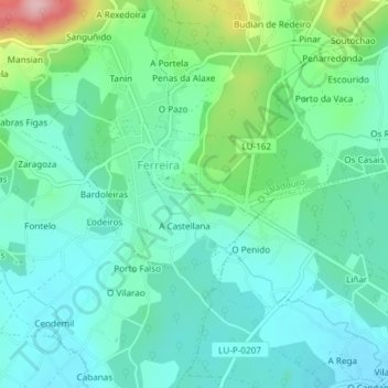
Name: Ferreira topographic map, elevation, terrain.
Location: Ferreira, O Valadouro, A Mariña Central, Lugo, Galiza, Espanha (43.54337 -7.44778 43.55375 -7.42441)
Average elevation: 96 m
Minimum elevation: 52 m
Maximum elevation: 238 m