
Thank you for supporting this site ❤️
Make a donation
Make a donation
Gear up for your next adventure:
As an Amazon Associate, this site earns from qualifying purchases at no extra cost to you.
大湾社区 topographic map
Click on the map to display elevation.
Thank you for supporting this site ❤️
Make a donation
Make a donation
Gear up for your next adventure:
As an Amazon Associate, this site earns from qualifying purchases at no extra cost to you.
About this map
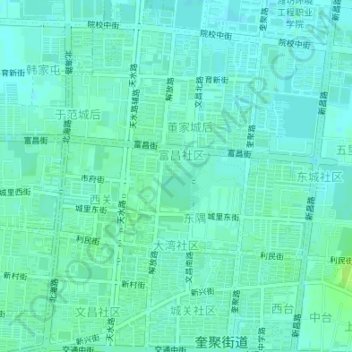
Name: 大湾社区 topographic map, elevation, terrain.
Location: 大湾社区, Kuiju, Changyi City, Weifang, Shandong, 261300, China (36.85235 119.38790 36.86403 119.41014)
Average elevation: 11 m
Minimum elevation: 7 m
Maximum elevation: 19 m
Thank you for supporting this site ❤️
Make a donation
Make a donation
Gear up for your next adventure:
As an Amazon Associate, this site earns from qualifying purchases at no extra cost to you.