
Ramosch topographic map
Interactive map
Click on the map to display elevation.
About this map
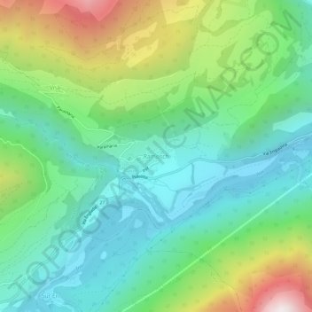
Name: Ramosch topographic map, elevation, terrain.
Average elevation: 1,501 m
Minimum elevation: 1,080 m
Maximum elevation: 2,464 m
Other topographic maps
Click on a map to view its topography, its elevation and its terrain.
Zahnjoch
Schweiz > Graubünden > Region Unterengadin/Münstertal > Unteres Tal
Zahnjoch, Unteres Tal, Region Unterengadin/Münstertal, Graubünden, Schweiz
Average elevation: 2,826 m