
Ochagavía topographic map
Interactive map
Click on the map to display elevation.
About this map
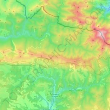
Name: Ochagavía topographic map, elevation, terrain.
Location: Ochagavía, Pirineo, Navarra, 31680, España (42.89532 -1.17010 43.02460 -0.97051)
Average elevation: 1,103 m
Minimum elevation: 623 m
Maximum elevation: 2,016 m