
Make a donation
Gear up for your next adventure:
As an Amazon Associate, this site earns from qualifying purchases at no extra cost to you.
Philrich topographic map
Click on the map to display elevation.
Make a donation
Gear up for your next adventure:
As an Amazon Associate, this site earns from qualifying purchases at no extra cost to you.
About this map
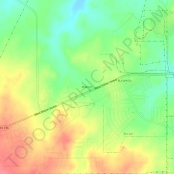
Name: Philrich topographic map, elevation, terrain.
Location: Philrich, Hutchinson County, Texas, United States (35.63171 -101.47711 35.67171 -101.43711)
Average elevation: 967 m
Minimum elevation: 932 m
Maximum elevation: 1,005 m
Make a donation
Gear up for your next adventure:
As an Amazon Associate, this site earns from qualifying purchases at no extra cost to you.
Other topographic maps
Click on a map to view its topography, its elevation and its terrain.
Fritch
United States > Texas > Hutchinson County
Fritch is primarily a bedroom community, with the majority of citizens commuting to nearby Borger and Amarillo for work. Major employers in the area include Pantex, ConocoPhillips, and Agrium, all located within a short distance of Fritch. Due to its nature as a commuting town, Fritch differs from most small…
Average elevation: 965 m
Make a donation
Gear up for your next adventure:
As an Amazon Associate, this site earns from qualifying purchases at no extra cost to you.