
Vejers Strand topographic map
Interactive map
Click on the map to display elevation.
About this map
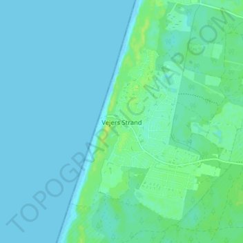
Name: Vejers Strand topographic map, elevation, terrain.
Location: Vejers Strand, Varde Kommune, Region Süddänemark, 6853, Dänemark (55.60627 8.10353 55.64627 8.14353)
Average elevation: 3 m
Minimum elevation: 0 m
Maximum elevation: 13 m