
Saint Henry topographic map
Interactive map
Click on the map to display elevation.
About this map
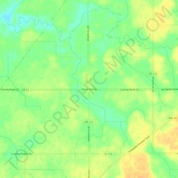
Name: Saint Henry topographic map, elevation, terrain.
Location: Saint Henry, Le Sueur County, Minnesota, United States (44.36418 -93.80843 44.40418 -93.76843)
Average elevation: 307 m
Minimum elevation: 291 m
Maximum elevation: 321 m
Other topographic maps
Click on a map to view its topography, its elevation and its terrain.