
Puerto Rico topographic map
Interactive map
Click on the map to display elevation.
About this map
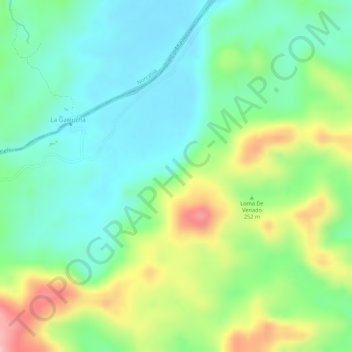
Name: Puerto Rico topographic map, elevation, terrain.
Location: Puerto Rico, La Dorada, Magdalena Caldense, Caldas, Colombia (5.59647 -74.80134 5.61647 -74.78134)
Average elevation: 241 m
Minimum elevation: 181 m
Maximum elevation: 347 m
Other topographic maps
Click on a map to view its topography, its elevation and its terrain.