
Rova topographic map
Interactive map
Click on the map to display elevation.
About this map
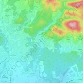
Name: Rova topographic map, elevation, terrain.
Location: Rova, Domžale, Upravna Enota Domžale, 1235, Slovenia (46.15992 14.61042 46.19992 14.65042)
Average elevation: 358 m
Minimum elevation: 307 m
Maximum elevation: 525 m
Other topographic maps
Click on a map to view its topography, its elevation and its terrain.