
Thôn Thượng topographic map
Interactive map
Click on the map to display elevation.
About this map
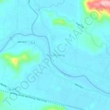
Name: Thôn Thượng topographic map, elevation, terrain.
Average elevation: 25 m
Minimum elevation: 5 m
Maximum elevation: 210 m
Other topographic maps
Click on a map to view its topography, its elevation and its terrain.
Diên Khánh
Vietnam > Khanh Hoa province > Diên Khánh District
Diên Khánh, Diên Khánh District, Khánh Hòa Province, Vietnam
Average elevation: 48 m