Geolocate

Industrial topographic map

Click on the map to display elevation.

About this map

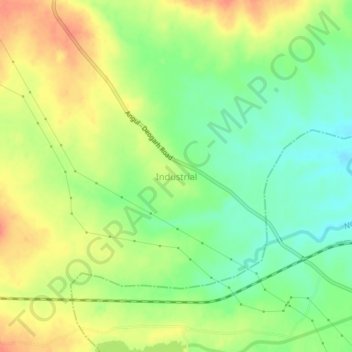
Name: Industrial topographic map, elevation, terrain.

Location: Industrial, Anugul, Odisha, 759143, India (20.85308 85.01136 20.89308 85.05136)

Average elevation: 141 m

Minimum elevation: 113 m

Maximum elevation: 171 m

Gear up for your next adventure:

👕Merino Base Layers - Natural temperature regulation for cold weather hiking and camping
🔭Compact Hiking Binoculars - Lightweight optics for scouting terrain and spotting wildlife
📸Action Camera Chest Mounts - Record your ascent following topographic paths hands-free
GPS Outdoor Watches - Watches with GPS tracking for hiking and exploration
🍳Camping Stoves - Compact stoves for outdoor cooking

As an Amazon Associate, this site earns from qualifying purchases at no extra cost to you.