
Camăr topographic map
Interactive map
Click on the map to display elevation.
About this map
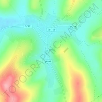
Name: Camăr topographic map, elevation, terrain.
Location: Camăr, Sălaj, 457060, Rumanía (47.28782 22.60117 47.30827 22.63698)
Average elevation: 208 m
Minimum elevation: 165 m
Maximum elevation: 288 m
Other topographic maps
Click on a map to view its topography, its elevation and its terrain.