

Norte Grande topographic map
Click on the map to display elevation.
Norte Grande
The desert region is an elevated arid plateau descending gradually from the Andes towards the coast, where it breaks down abruptly from elevations of 800 to 1500 ft. From the sea this plateau escarpment has the appearance of a range of flat topped hills closely following the coast line. This topography generates coastal microclimates because the fog that frequently forms over the cold ocean waters, as well as any low clouds, is trapped by the high bluffs. This airborne moisture condenses in the spines and leaves of the vegetation, droplets that fall to the ground and irrigate the plants' roots. The fog of this area is known locally as Camanchaca.
About this map
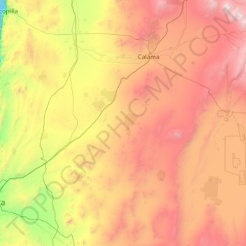
Name: Norte Grande topographic map, elevation, terrain.
Average elevation: 2,112 m
Minimum elevation: 0 m
Maximum elevation: 5,834 m