
Lēdas topographic map
Interactive map
Click on the map to display elevation.
About this map
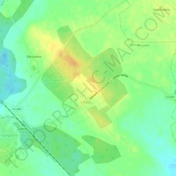
Name: Lēdas topographic map, elevation, terrain.
Location: Lēdas, Virbu pagasts, Talsu novads, Kurzeme, Lettonie (57.13115 22.66072 57.14313 22.67521)
Average elevation: 97 m
Minimum elevation: 83 m
Maximum elevation: 113 m