
Pasadena topographic map
Click on the map to display elevation.
About this map
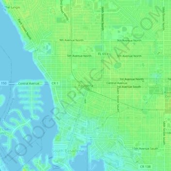
Name: Pasadena topographic map, elevation, terrain.
Average elevation: 7 m
Minimum elevation: -3 m
Maximum elevation: 14 m
Other topographic maps
Click on a map to view its topography, its elevation and its terrain.
Fort De Soto County Park
United States > Florida > Pinellas County > Saint Petersburg
Average elevation: 0 m
Boyd Hill Nature Preserve
United States > Florida > Pinellas County > Saint Petersburg > Lakewood Estates
Average elevation: 7 m
Boyd Hill Nature Preserve
United States > Florida > Pinellas County > Saint Petersburg > Lakewood Estates
Average elevation: 7 m