
Garh topographic map
Interactive map
Click on the map to display elevation.
About this map
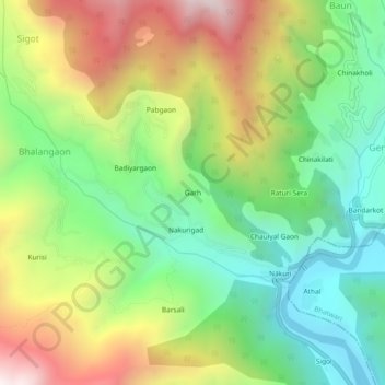
Name: Garh topographic map, elevation, terrain.
Location: Garh, Dunda, Uttarkashi district, Uttarakhand, India (30.72580 78.31982 30.76580 78.35982)
Average elevation: 1,475 m
Minimum elevation: 986 m
Maximum elevation: 2,209 m