
Sandringham Estate topographic map
Interactive map
Click on the map to display elevation.
About this map
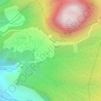
Name: Sandringham Estate topographic map, elevation, terrain.
Location: Sandringham Estate, Laudat, Saint George Parish, Dominica (15.32177 -61.33531 15.34177 -61.31531)
Average elevation: 665 m
Minimum elevation: 237 m
Maximum elevation: 1,177 m