Geolocate

Adiang topographic map

Click on the map to display elevation.

About this map

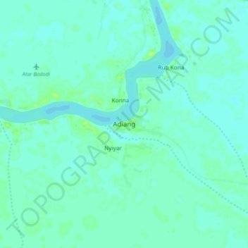
Name: Adiang topographic map, elevation, terrain.

Location: Adiang, Pigi, Jonglei, South Sudan (9.25151 31.36883 9.33151 31.44883)

Average elevation: 393 m

Minimum elevation: 389 m

Maximum elevation: 401 m

Gear up for your next adventure:

📻Hand-Crank Emergency Radios - Stay updated on weather warnings in remote areas
👖Packable Overtrousers - Quick-deploy rain protection for legs in sudden storms
🎒Hiking Daypacks (20L) - Compact backpacks for day trips and technical mountain ascents
👟Waterproof Leg Gaiters - Keep mud and water out of your boots in boggy terrain
🔦Head Torches - Hands-free lighting for hiking and camping

As an Amazon Associate, this site earns from qualifying purchases at no extra cost to you.