
Thank you for supporting this site ❤️
Make a donation
Make a donation
Gear up for your next adventure:
As an Amazon Associate, this site earns from qualifying purchases at no extra cost to you.
Chhairo topographic map
Click on the map to display elevation.
Thank you for supporting this site ❤️
Make a donation
Make a donation
Gear up for your next adventure:
As an Amazon Associate, this site earns from qualifying purchases at no extra cost to you.
About this map
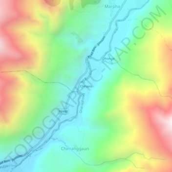
Name: Chhairo topographic map, elevation, terrain.
Location: Chhairo, Marpha, Gharapjhong, Mustang, Gandaki Pradesh, Nepal (28.71330 83.65928 28.75330 83.69928)
Average elevation: 3,105 m
Minimum elevation: 2,595 m
Maximum elevation: 3,996 m
Thank you for supporting this site ❤️
Make a donation
Make a donation
Gear up for your next adventure:
As an Amazon Associate, this site earns from qualifying purchases at no extra cost to you.