
Whitmire topographic map
Interactive map
Click on the map to display elevation.
About this map
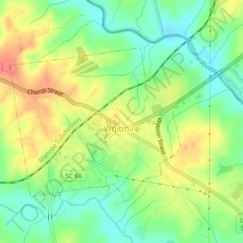
Name: Whitmire topographic map, elevation, terrain.
Location: Whitmire, Newberry County, South Carolina, United States (34.49485 -81.62661 34.51257 -81.59866)
Average elevation: 120 m
Minimum elevation: 93 m
Maximum elevation: 151 m
Other topographic maps
Click on a map to view its topography, its elevation and its terrain.