
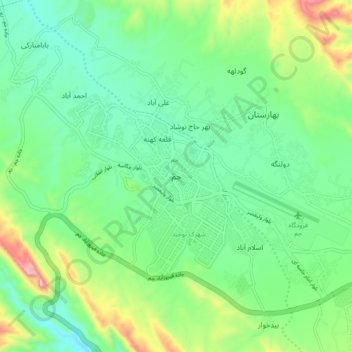
Jam topographic map
Interactive map
Click on the map to display elevation.
About this map
Name: Jam topographic map, elevation, terrain.
Location: Jam, دهستان جم, بخش مرکزی, Jam County, Bushehr Province, Iran (27.78628 52.28636 27.86628 52.36636)
Average elevation: 683 m
Minimum elevation: 544 m
Maximum elevation: 1,035 m