
Boukari topographic map
Click on the map to display elevation.
About this map
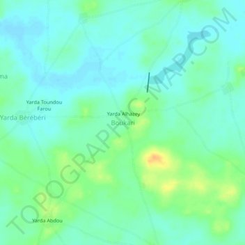
Name: Boukari topographic map, elevation, terrain.
Location: Boukari, Tanout, Zinder Region, Niger (14.76140 8.52700 14.80140 8.56700)
Average elevation: 462 m
Minimum elevation: 452 m
Maximum elevation: 485 m