
صنهاجة topographic map
Interactive map
Click on the map to display elevation.
About this map
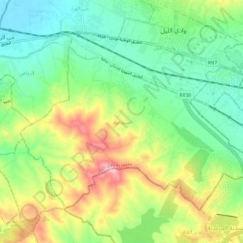
Name: صنهاجة topographic map, elevation, terrain.
Location: صنهاجة, معتمدية وادي اللیل, Manouba, Tunisia (36.78661 9.98841 36.83664 10.07388)
Average elevation: 80 m
Minimum elevation: 16 m
Maximum elevation: 194 m
Other topographic maps
Click on a map to view its topography, its elevation and its terrain.