
Gangseo-gu topographic map
Interactive map
Click on the map to display elevation.
About this map
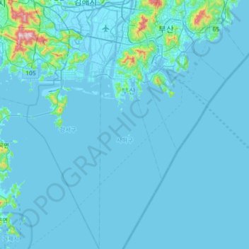
Name: Gangseo-gu topographic map, elevation, terrain.
Location: Gangseo-gu, Busan, South Korea (34.76605 128.75681 35.23269 128.99849)
Average elevation: 29 m
Minimum elevation: -5 m
Maximum elevation: 777 m