
Col de l'Iseran topographic map
Interactive map
Click on the map to display elevation.
Col de l'Iseran
On both sides of the Col de l'Iseran, mountain pass cycling milestones mark the distance to the summit, the current altitude, and the average slope in the following kilometre.
About this map
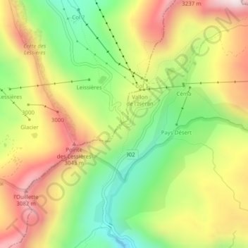
Name: Col de l'Iseran topographic map, elevation, terrain.
Average elevation: 2,779 m
Minimum elevation: 2,467 m
Maximum elevation: 3,117 m