
Cholsey & Wallingford Railway topographic map
Interactive map
Click on the map to display elevation.
About this map
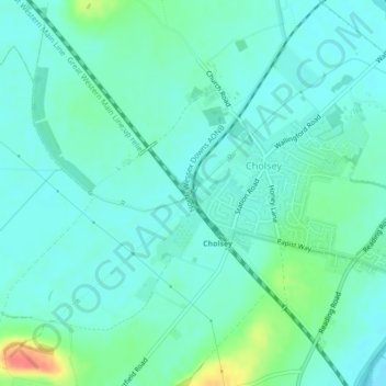
Name: Cholsey & Wallingford Railway topographic map, elevation, terrain.
Average elevation: 53 m
Minimum elevation: 41 m
Maximum elevation: 94 m