
Wentworth topographic map
Interactive map
Click on the map to display elevation.
About this map
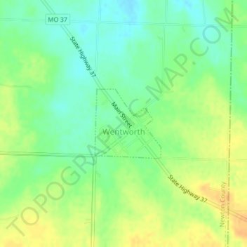
Name: Wentworth topographic map, elevation, terrain.
Location: Wentworth, Newton County, Missouri, United States (36.99003 -94.07925 36.99762 -94.07020)
Average elevation: 377 m
Minimum elevation: 362 m
Maximum elevation: 393 m
Other topographic maps
Click on a map to view its topography, its elevation and its terrain.
Fairview
United States > Missouri > Newton County
Fairview, Newton County, Missouri, United States
Average elevation: 391 m
Wentworth
United States > Missouri > Newton County > Wentworth
Wentworth, Newton County, Missouri, 64873, United States
Average elevation: 380 m