Geolocate

Maliara topographic map

Click on the map to display elevation.

About this map
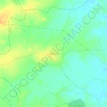
Name: Maliara topographic map, elevation, terrain.

Location: Maliara, Barjora, Bankura, West Bengal, 722177, India (23.45616 87.20739 23.49616 87.24739)

Average elevation: 79 m

Minimum elevation: 66 m

Maximum elevation: 98 m

Gear up for your next adventure:

🧘Folding Sit Mats - Dry and warm seat for map-reading breaks on damp ground
🥫Expedition Meals - Lightweight, high-calorie nutrition for long-distance hikers
🧴Sport Sunscreen Sticks - High-protection sunblock that won't run into your eyes on the trail
📍Handheld GPS Navigators - Reliable satellite navigation for hiking and off-road exploration
🧺Microfibre Travel Towels - Fast-drying and compact towels for wild swimming and camping

As an Amazon Associate, this site earns from qualifying purchases at no extra cost to you.