
Tanbing topographic map
Interactive map
Click on the map to display elevation.
About this map
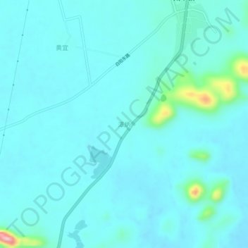
Name: Tanbing topographic map, elevation, terrain.
Location: Tanbing, Liucheng County, Liuzhou City, Guangxi, China (24.67446 109.34302 24.71446 109.38302)
Average elevation: 177 m
Minimum elevation: 155 m
Maximum elevation: 345 m