
Touna topographic map
Interactive map
Click on the map to display elevation.
About this map
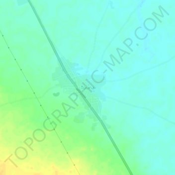
Name: Touna topographic map, elevation, terrain.
Location: Touna, Cercle de Bla, Ségou, Mali (13.09595 -5.85275 13.13595 -5.81275)
Average elevation: 292 m
Minimum elevation: 284 m
Maximum elevation: 308 m