
Thank you for supporting this site ❤️
Make a donation
Make a donation
Gear up for your next adventure:
As an Amazon Associate, this site earns from qualifying purchases at no extra cost to you.
Prebersee topographic map
Click on the map to display elevation.
Thank you for supporting this site ❤️
Make a donation
Make a donation
Gear up for your next adventure:
As an Amazon Associate, this site earns from qualifying purchases at no extra cost to you.
About this map
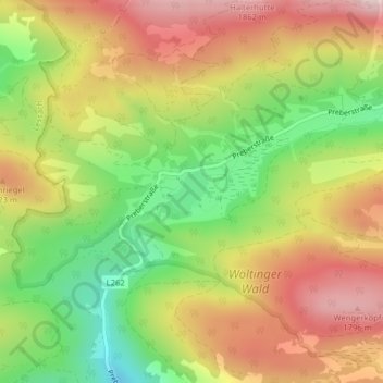
Name: Prebersee topographic map, elevation, terrain.
Location: Prebersee, Tamsweg, Bezirk Tamsweg, Salzburg, 5580, Austria (47.18353 13.85510 47.18643 13.85895)
Average elevation: 1,620 m
Minimum elevation: 1,412 m
Maximum elevation: 1,821 m
Thank you for supporting this site ❤️
Make a donation
Make a donation
Gear up for your next adventure:
As an Amazon Associate, this site earns from qualifying purchases at no extra cost to you.