
Gaza topographic map
Interactive map
Click on the map to display elevation.
About this map
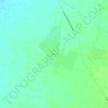
Name: Gaza topographic map, elevation, terrain.
Location: Gaza, Ghurian, Herat Province, Afghanistan (34.36047 61.43810 34.40047 61.47810)
Average elevation: 786 m
Minimum elevation: 781 m
Maximum elevation: 791 m