
Tegal Waru topographic map
Interactive map
Click on the map to display elevation.
About this map
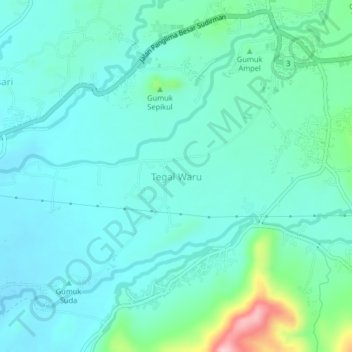
Name: Tegal Waru topographic map, elevation, terrain.
Location: Tegal Waru, Jember, East Java, 68181, Indonesia (-8.21018 113.76301 -8.17018 113.80301)
Average elevation: 163 m
Minimum elevation: 127 m
Maximum elevation: 324 m